Aerial Surveying
From the sky to your screen, turning aerial data into actionable insight.
Gain valuable insights and make better decisions with our comprehensive aerial surveying solutions.
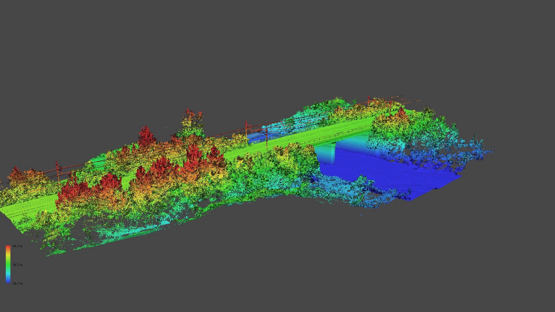
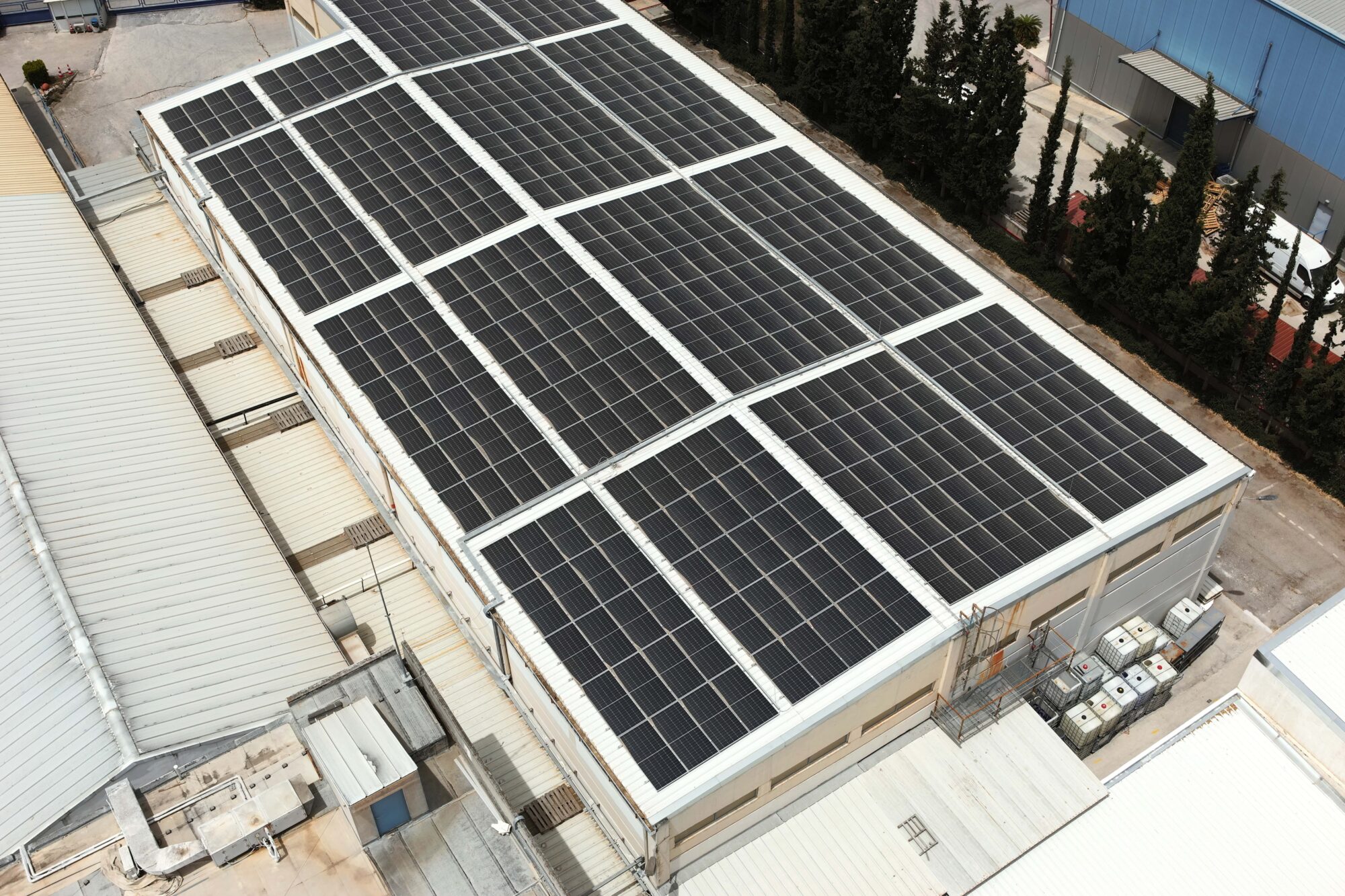
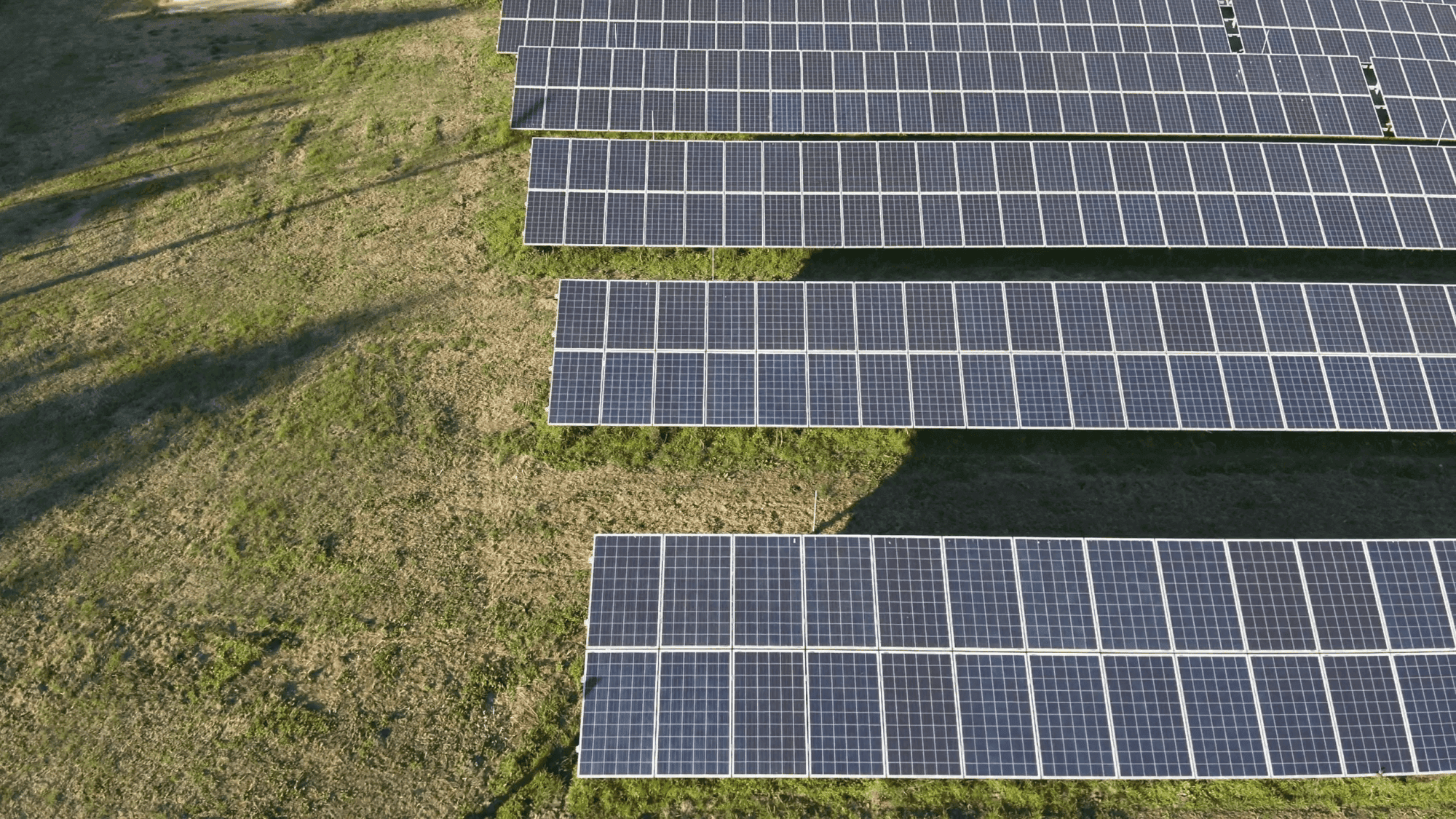
Aerial surveying services offer a complete, high-level overview of any area of interest. At Digital North, we do not just deliver data—we transform it into actionable insights. Through a wide range of deliverables and enriched metadata, we support every stage of your project—from initial planning and design to construction monitoring, progress tracking, and long-term asset management—ensuring precise, up-to-date, and decision-ready information.
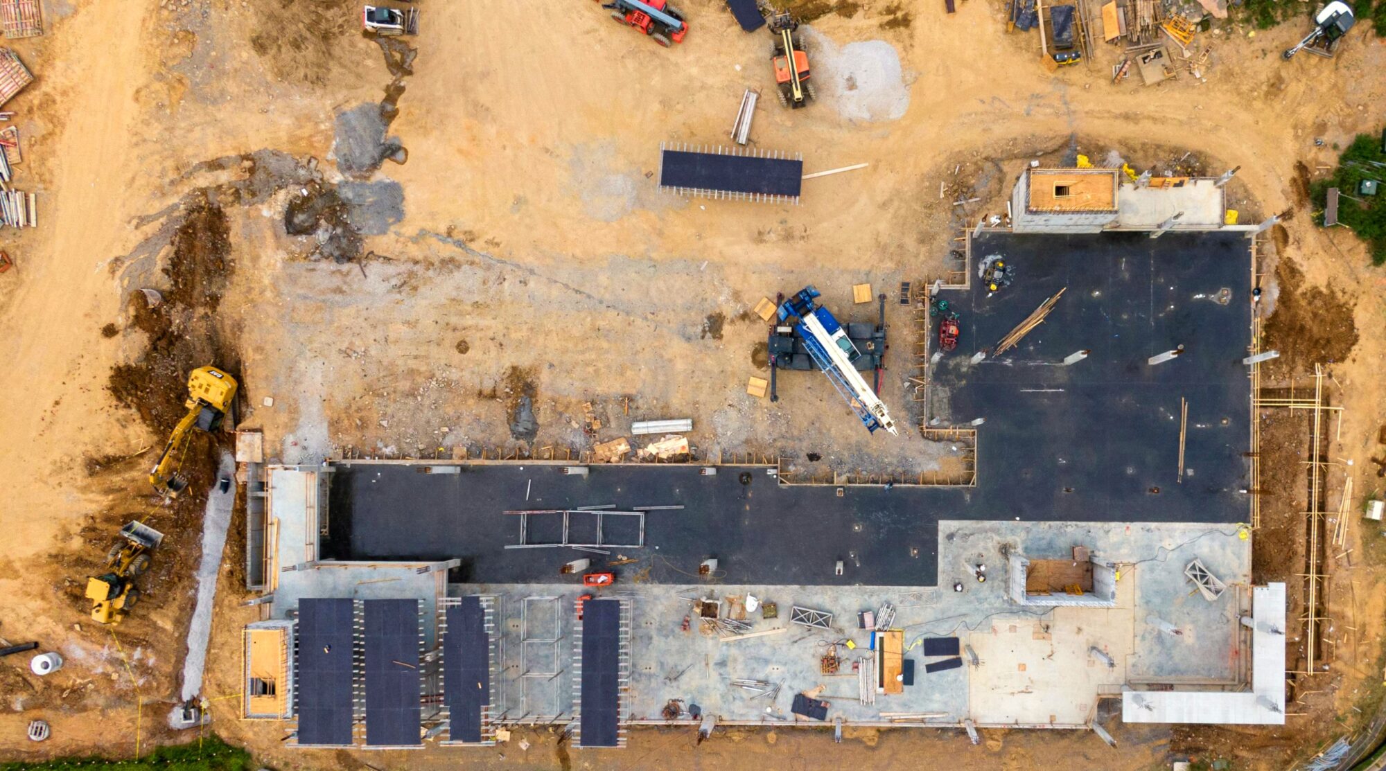
Utilizing state-of-the-art equipment, advanced software, and expert analysis, we ensure centimeter-level accuracy while significantly reducing time and costs compared to traditional methods. Our aerial data capture and processing techniques offer a complete and detailed overview of the entire project site, rather than just isolated sections.
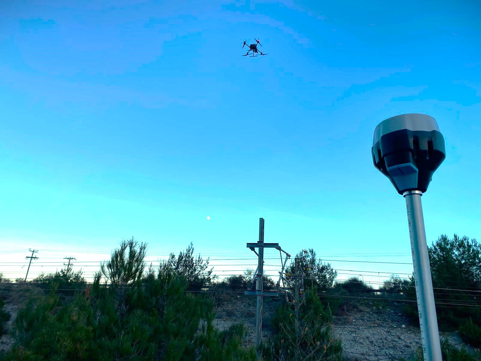
By integrating aerial and ground-based surveying methods, we provide detailed site maps, precise elevation data, and customized geospatial solutions tailored to your specific needs.
Benefits of Reality
Capture Services:
Our Products
for Aerial Surveying
-
Detailed videos and stereo aerial images
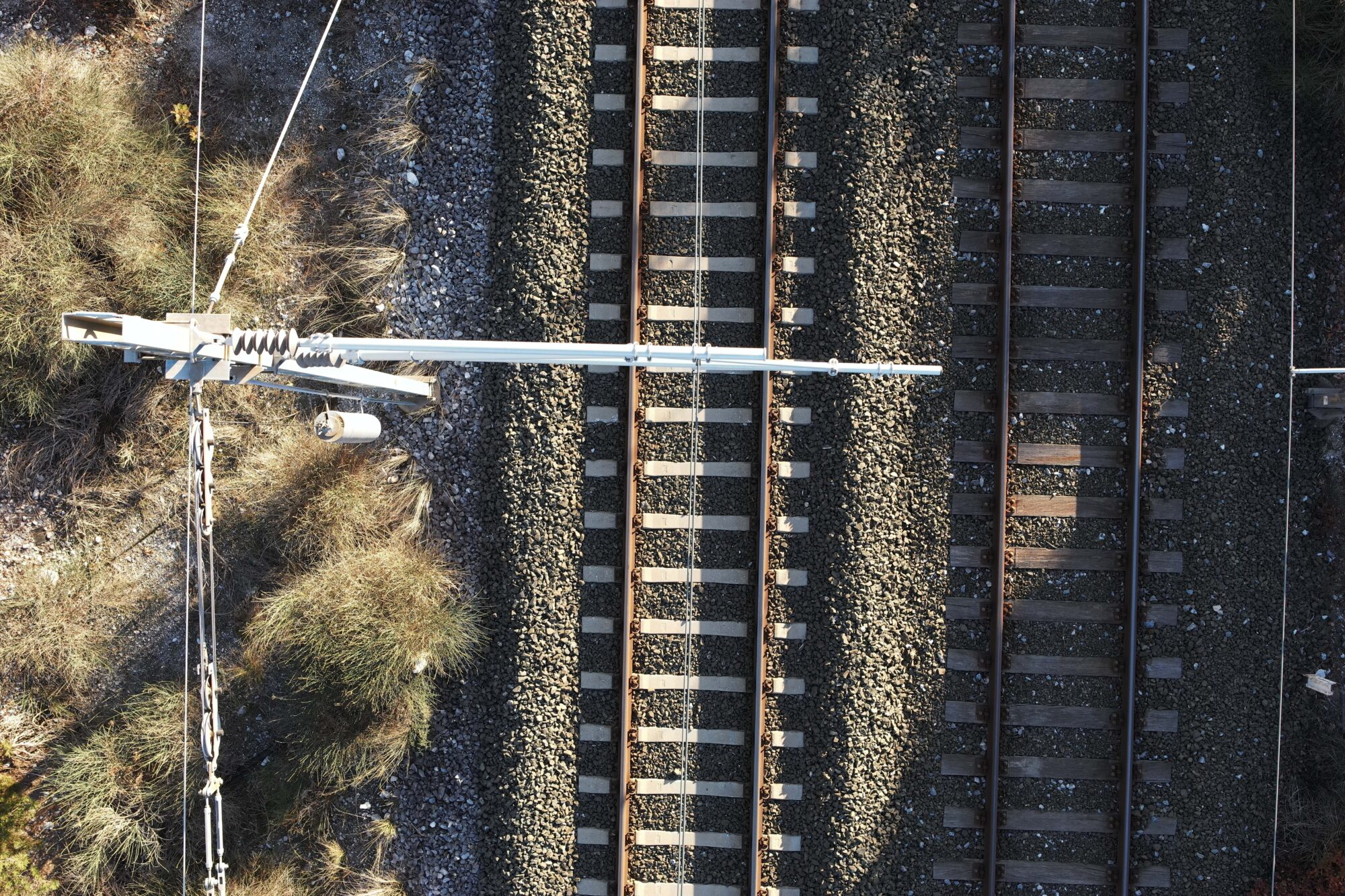
" Clarity from every angle "
Our detailed aerial videos and stereo images provide rich visual content ideal for inspections, documentation, and 3D reconstruction. With high-resolution perspectives and accurate depth perception, you gain a comprehensive understanding of your site—perfect for analysis, planning, and presentation. -
High-dense Point Cloud
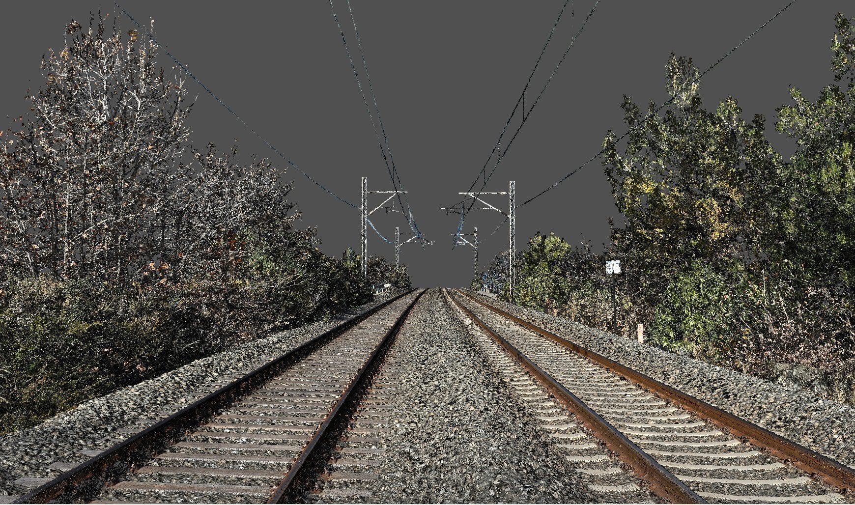
" Precision in every point. "
Our high-density point clouds deliver accurate, detailed 3D representations of terrain, structures, and assets. Ideal for measurements, modeling, and condition assessments, this data enables engineers, designers, and decision-makers to work with confidence and clarity across every project phase. -
Point cloud classification
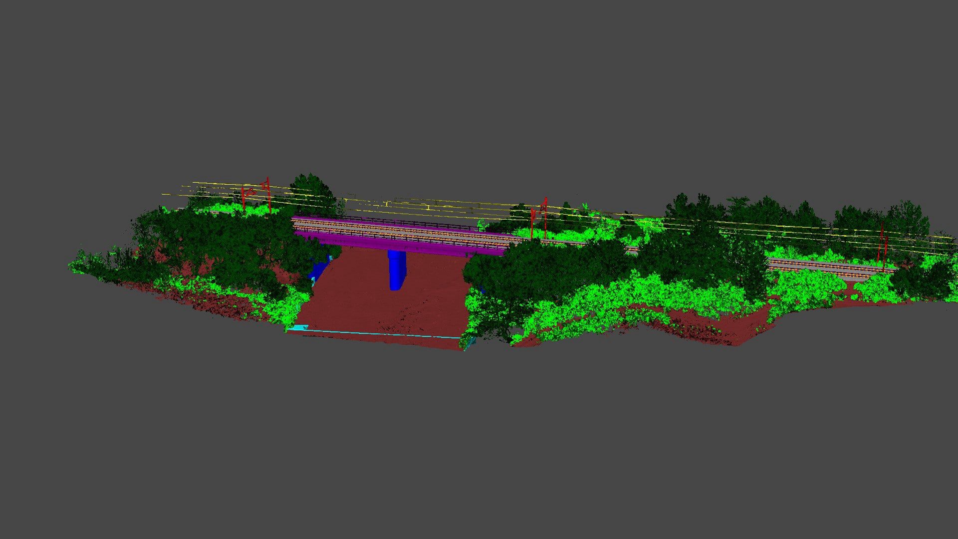
" From raw data to structured insight. "
Point cloud classification organizes millions of 3D points into meaningful categories—such as terrain, buildings, vegetation, and infrastructure. This process transforms raw spatial data into usable information, supporting automated analysis, accurate modeling, and efficient decision-making in engineering, surveying, and asset management. -
Orthomosaic
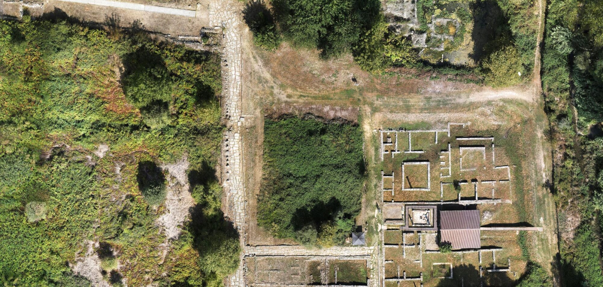
" High-resolution accuracy from above. "
An orthomosaic is a georeferenced, true-to-scale aerial image composed of multiple high-resolution photos. It provides a seamless and detailed visual representation of large areas—ideal for site documentation, measurements, change detection, and integration into GIS and CAD environments. -
Tiled Model
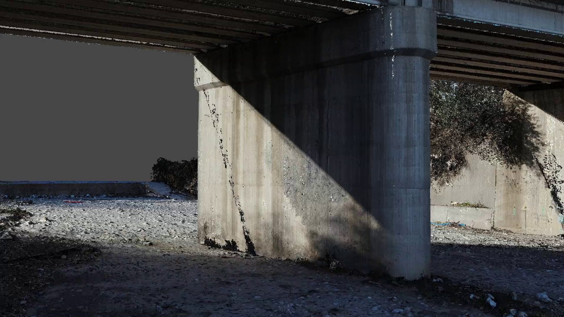
" Explore your site in full 3D detail. "
Tiled models are high-resolution 3D reconstructions of real-world environments, optimized for smooth navigation and visualization. They enable users to interact with complex structures or terrains directly in the browser or CAD platform—perfect for inspection, presentation, and collaboration. -
Elevation Mapping & Terrain Analysis
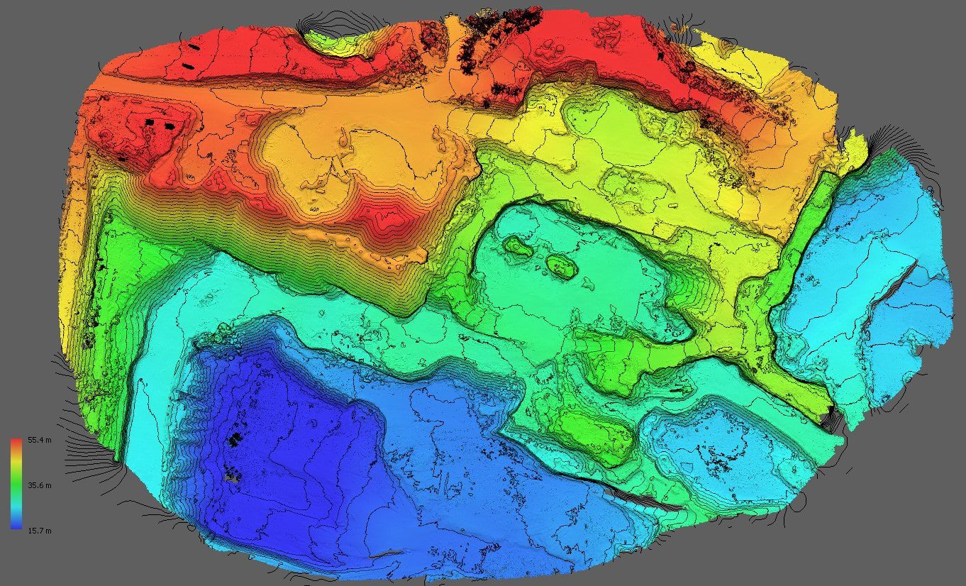
" Accurate elevation data for smarter decisions. "
We provide high-resolution Digital Surface Models (DSM), Digital Terrain Models (DTM), and detailed controur lines to support engineering, planning, and environmental analysis. Our data helps you understand elevation changes and ground features with precision. -
Volume & distance (2D, 3D) calculations
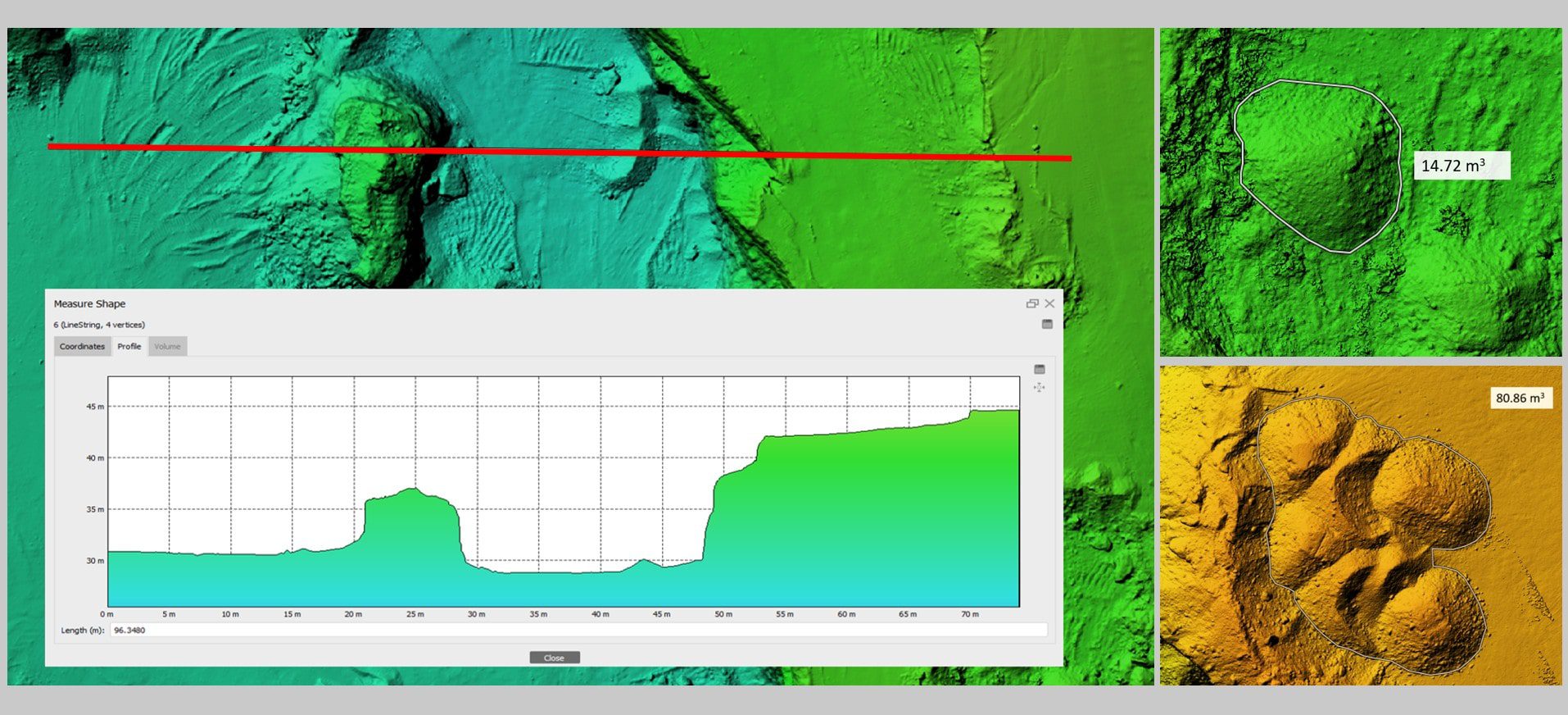
" Measure with confidence in 2D and 3D. "
Our volume and distance calculations provide accurate measurements directly from aerial data, whether on flat surfaces or complex 3D terrain. Ideal for cut-and-fill analysis, stockpile estimation, and site planning, these insights help reduce errors, save time, and support smarter project decisions. -
Deviation Mapping / Reality vs. Plan Comparison
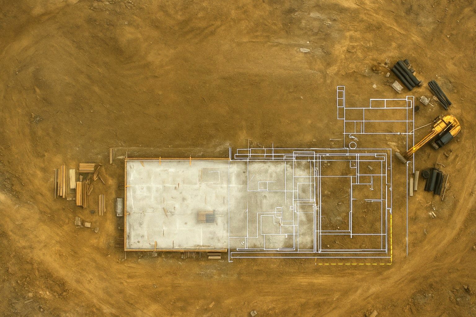
" See what’s built—and what’s next. "
By visualizing the current site conditions (As-Is) and comparing them with planning or design models (As-Should), we help you monitor progress, detect deviations, and ensure alignment with project goals. This powerful comparison supports quality control, decision-making, and transparent project communication.
Case studies
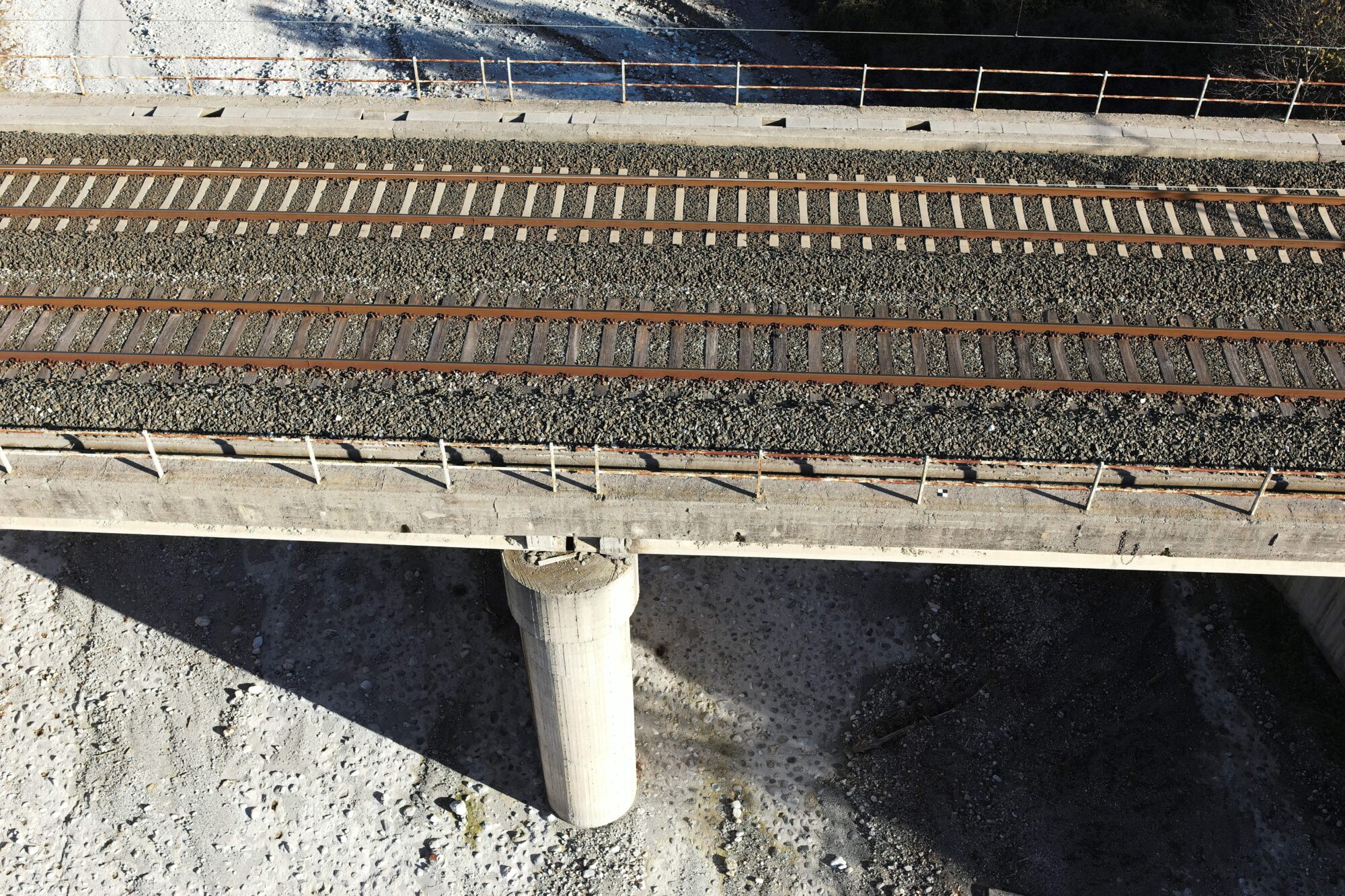
Bridge Survey for 3D Model Creation – Greece
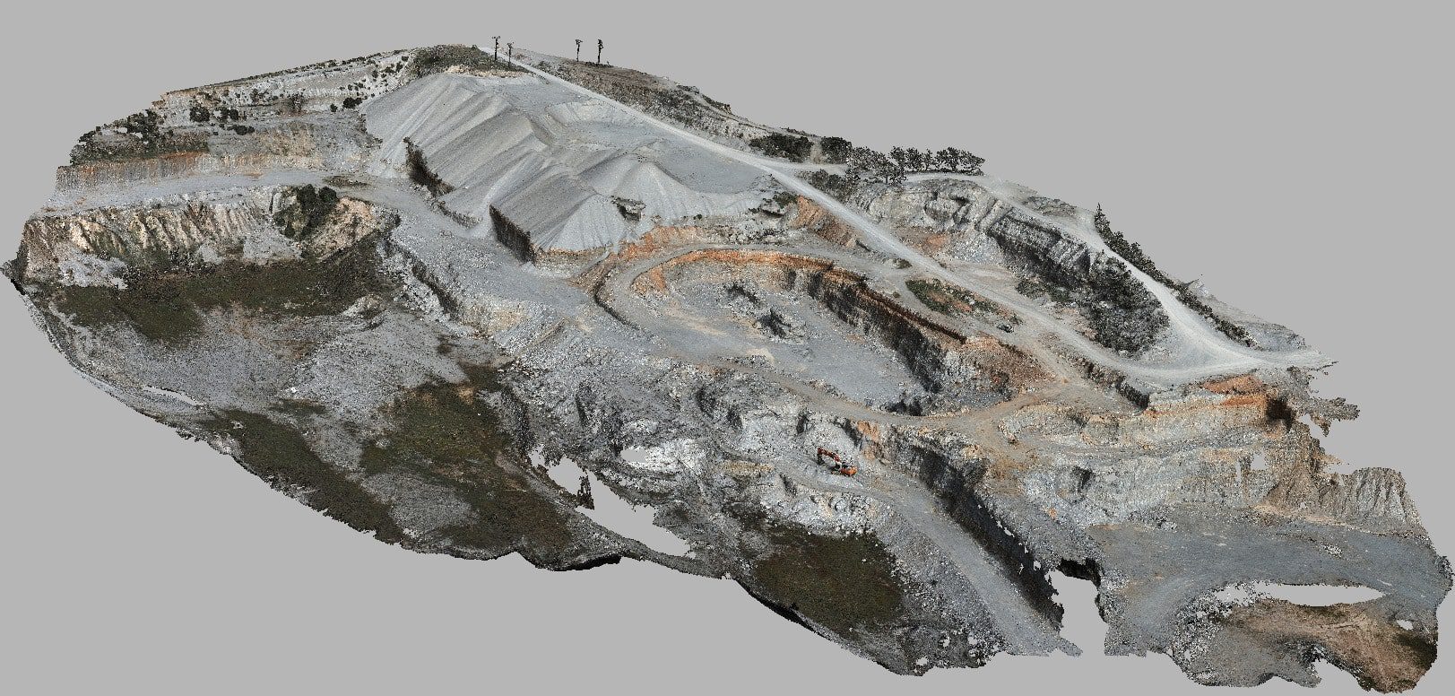
Survey of sand quarry – Greece
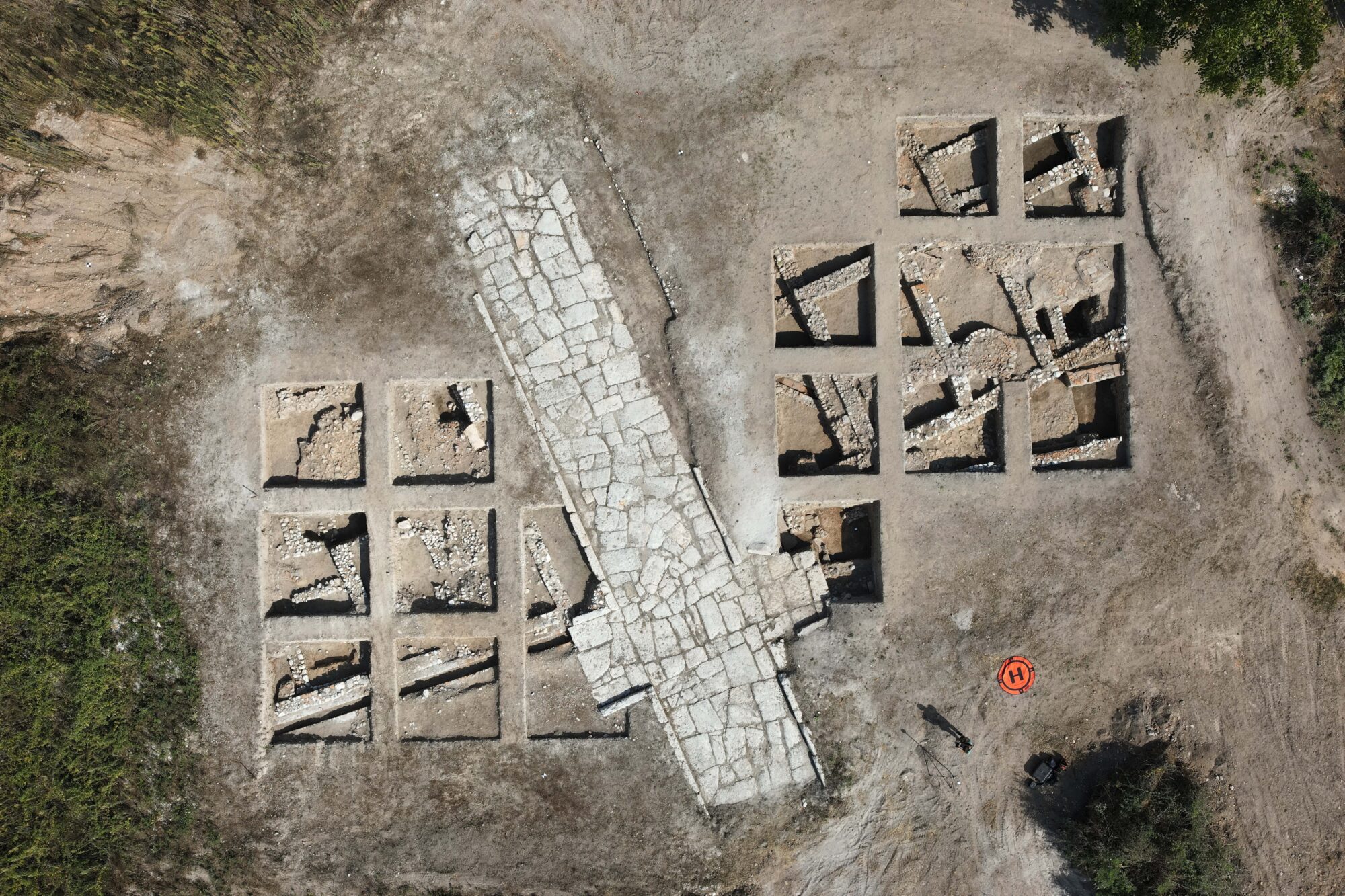
Survey of New Archaeological Findings – Greece
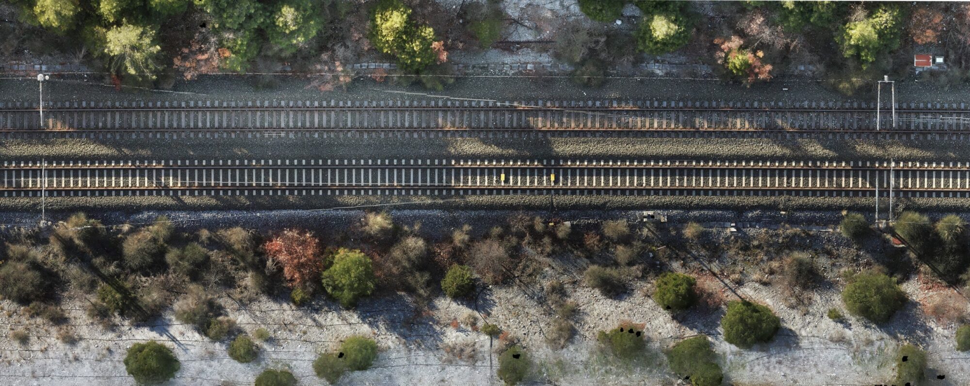
Survey of Railway Section for Maintenance – Greece
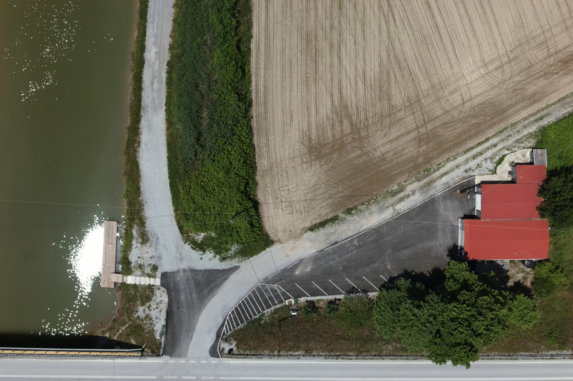
Monitoring of New Building Construction – Greece
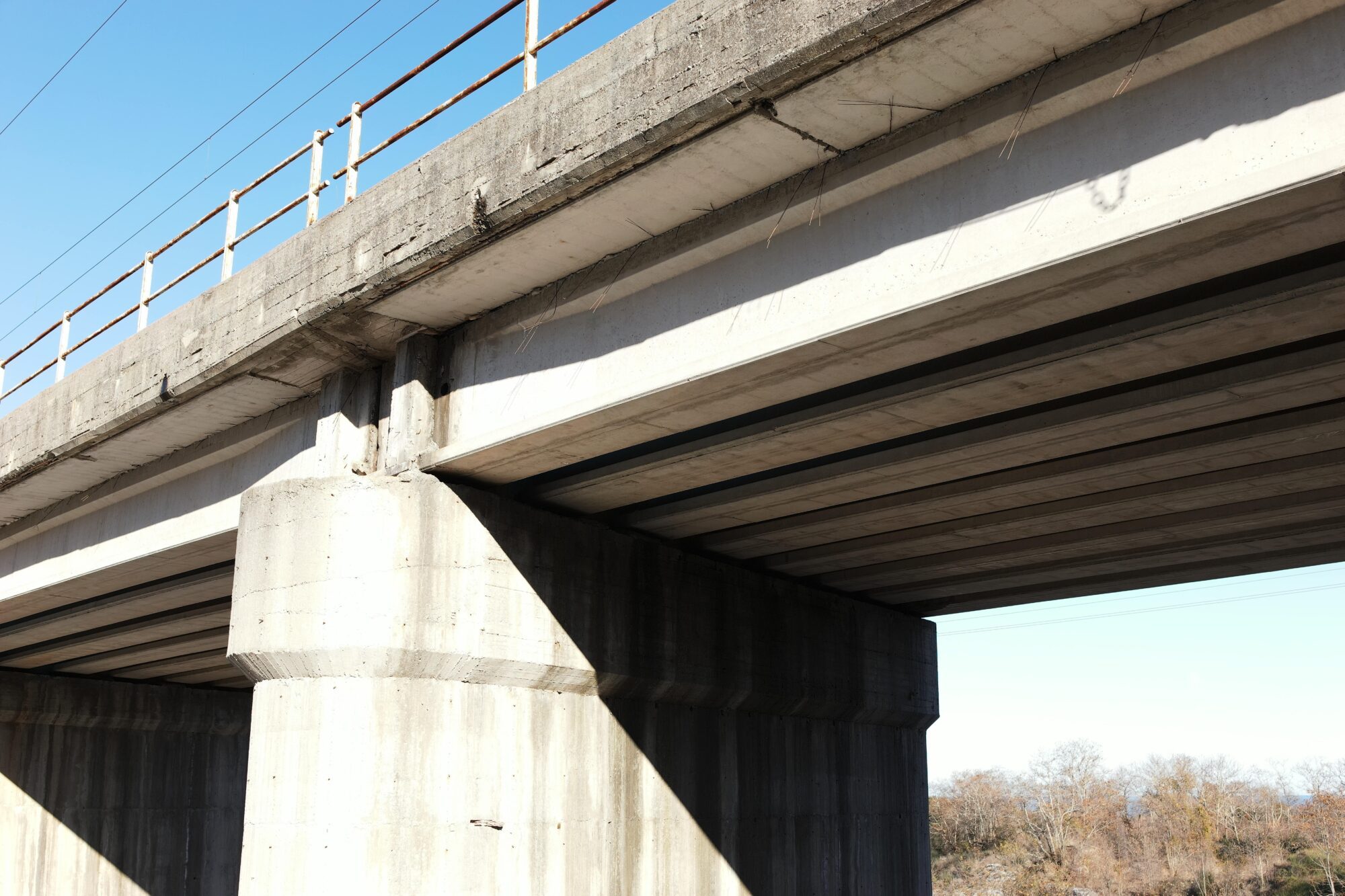
Inspection of Bridge Construction – Greece
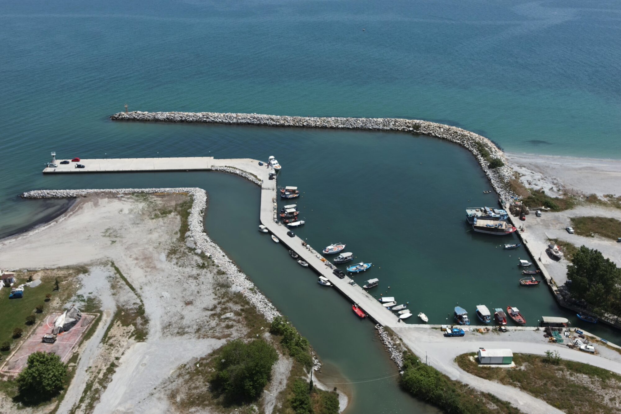
Survey of Port Facilities – Greece
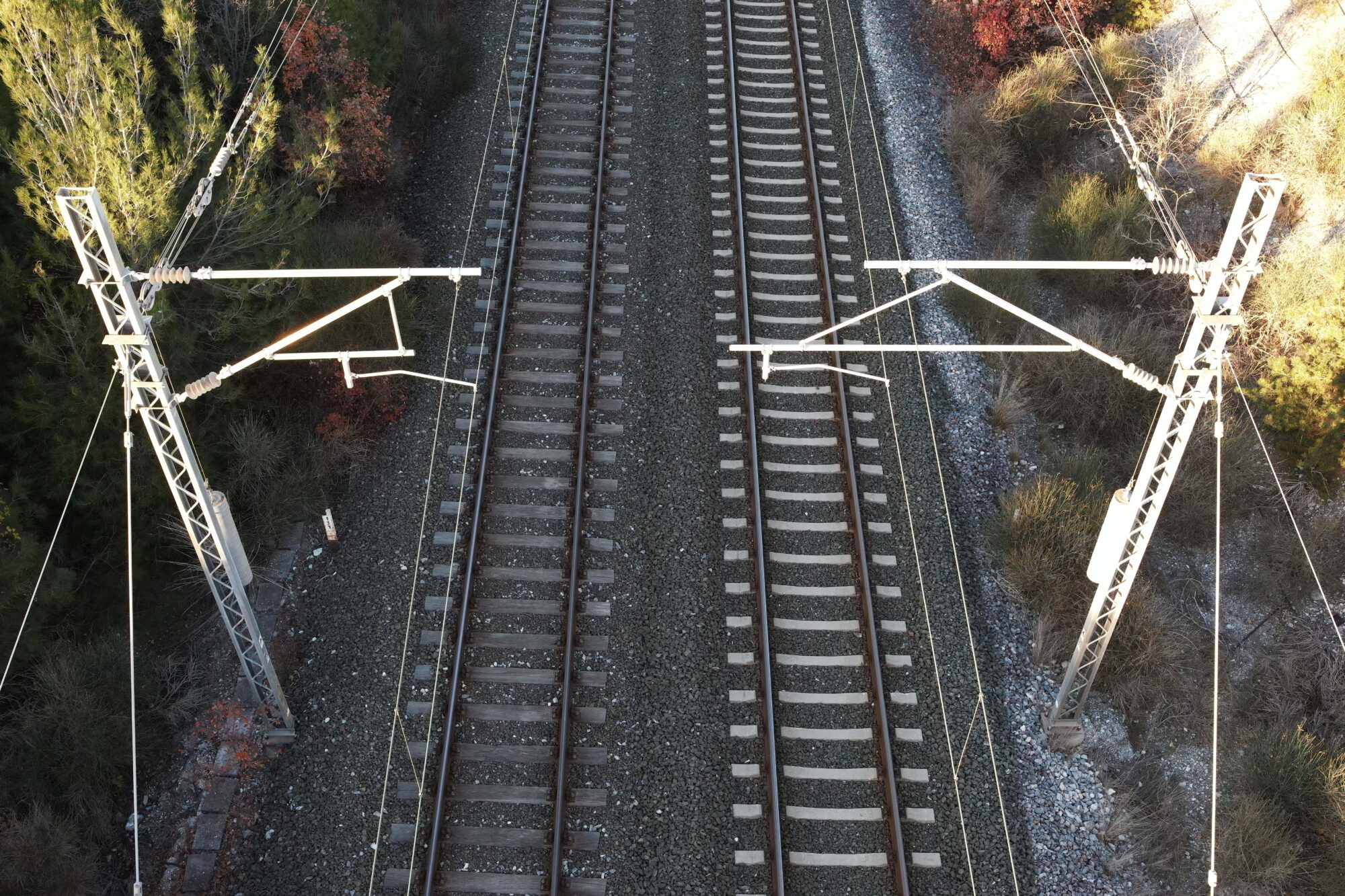
Inspection of Railway Section – Greece
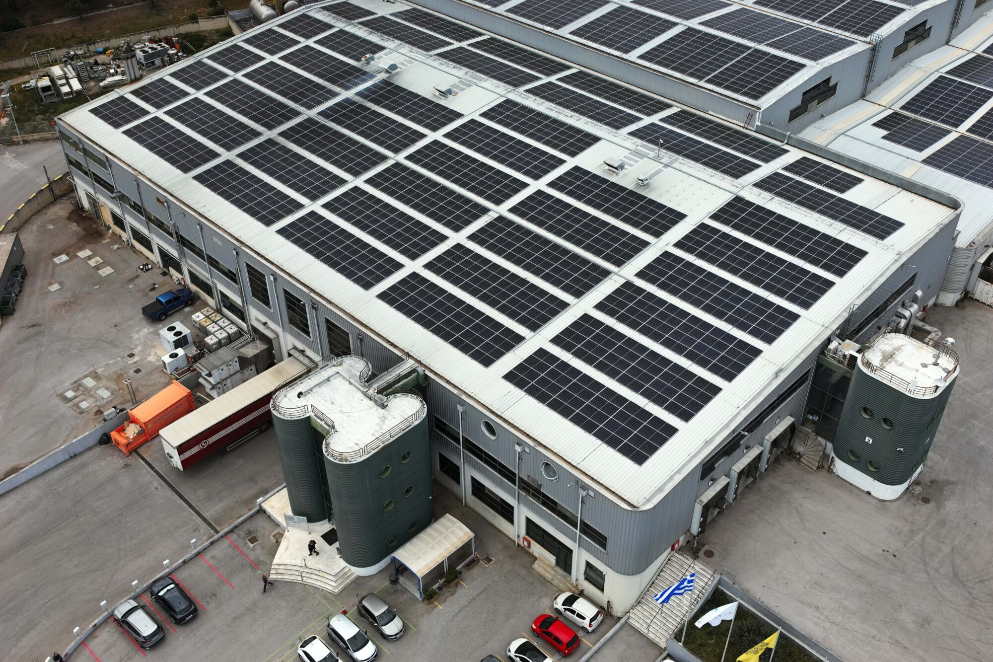
Survey of Factory Facilities for Cadastre Report – Greece
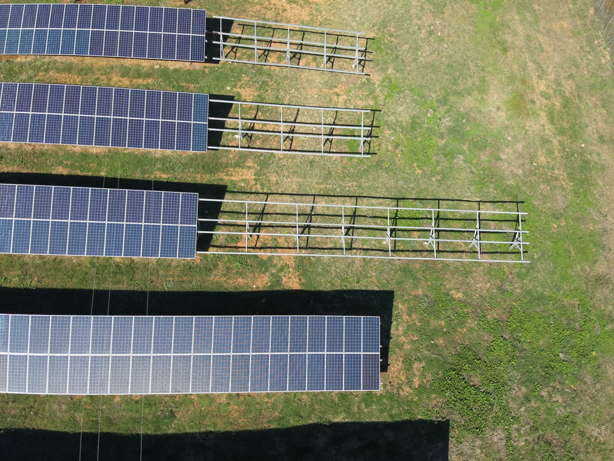
Construction Phase Monitoring of Solar Park – Greece
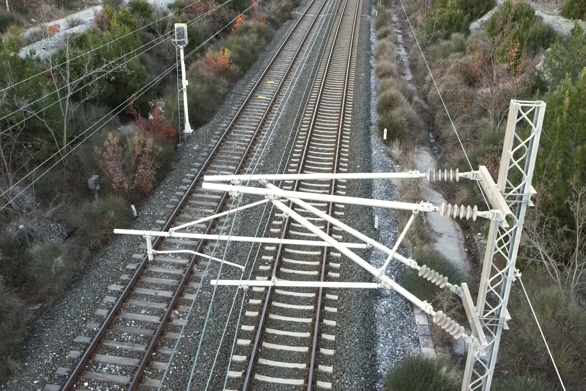
Inspection of Railway Powerline Connection System – Greece
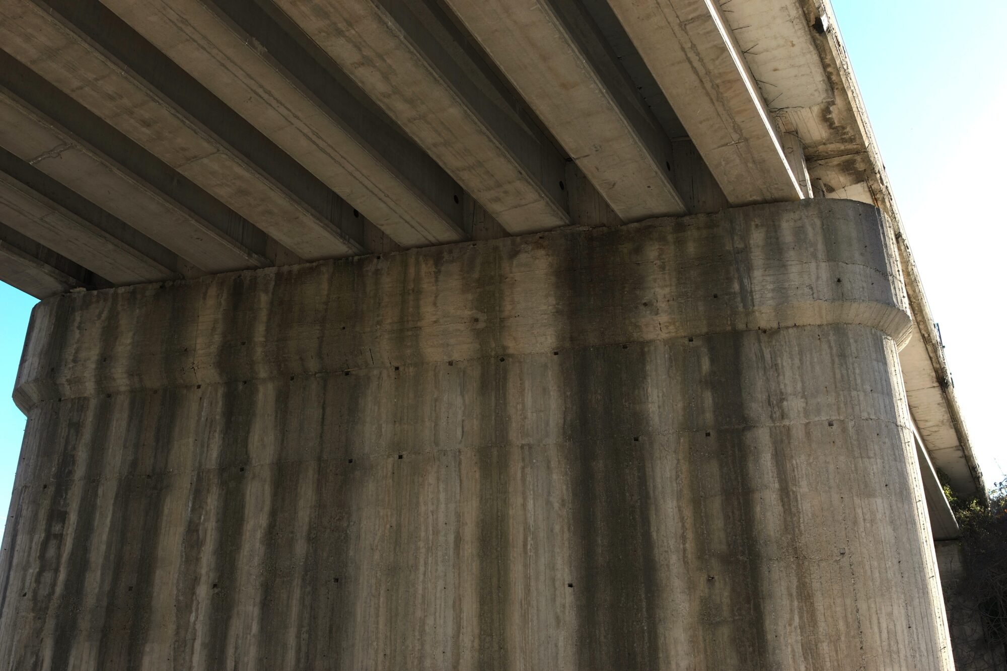
Inspection of Bridge Construction – Greece